

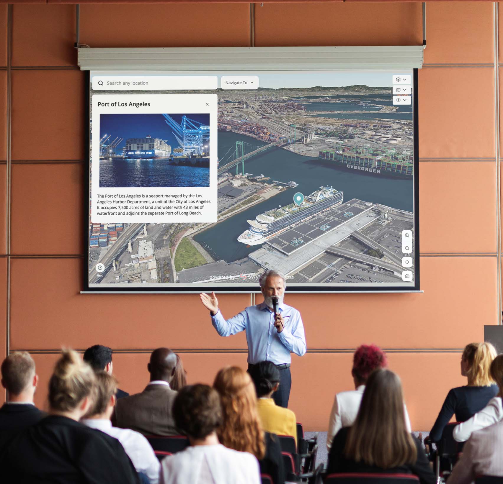
Eliminate site visits, strengthen communication and monitor changes easily. See your remote site like never before - all without leaving your desk.


Provide your details below and Alex our Co-Founder will reach out to schedule a time for a video call.
Significantly reduce travel expenses and associated costs by minimizing the need for frequent on-site visits, saving valuable time for your team.
Maintain consistent and transparent communication with all stakeholders, ensuring everyone is aligned and informed about project progress.
Facilitate easy sharing of real-time data and updates through 3D maps, enhancing collaboration among team members, contractors and stakeholders.


Track changes with various, up-to-date data sources, ensuring a clear and organized history of site conditions and project progress.


