One link. Every deliverable. No software required.
You produce orthomosaics, point clouds, 3D models, video, and reports. Your client just wants to see the results. Swyvl lets them view everything in their browser from a single branded link.
You capture incredible data. Then spend hours explaining how to open it.
Your clients don't have QGIS, CloudCompare, or Pix4D. They just want to see the orthomosaic, spin the point cloud, and watch the video.
"I can't open the .tif file"
Your client downloads a 2 GB GeoTIFF. Windows Photo Viewer shows a black rectangle. They email you. You explain QGIS. They install it. It crashes. You spend an hour on a call.
Orthomosaics on an interactive map
Your GeoTIFF loads as a zoomable map overlay. Your client pans, zooms, and sees exactly what you captured — in their browser, on any device.
"What am I looking at?"
You send 8 files in a Dropbox folder. The client has no idea which is the point cloud, which is the ortho, and which is the report. No labels, no context, no order.
AI classifies and labels everything
Upload your files and Swyvl's AI identifies each one — orthomosaic, point cloud, 3D model, video, report — and presents them to your client with the right viewer.
Separate links for every deliverable
You upload video to YouTube, the ortho to Google Drive, the report via email, and the point cloud to a separate platform. Your client juggles four links.
One link for everything
Point cloud, orthomosaic, video, 360 panorama, and PDF report — all in one branded link. Your client navigates between files using a filmstrip viewer.
Every deliverable, viewable in the browser
Swyvl has a purpose-built viewer for every file type drone operators produce.
Orthomosaics
GeoTIFF files rendered as interactive map overlays. Clients zoom from site-wide view down to centimetre-level detail.
Formats: GeoTIFF, COG
Point clouds
LAS and LAZ files rendered with Potree. Full 3D navigation — orbit, pan, zoom, measure, cross-section.
Formats: LAS, LAZ, E57
3D models
Photogrammetry meshes and CAD models rendered with Three.js. Textured OBJ, glTF, and PLY files viewable in real time.
Formats: OBJ, glTF, GLB, PLY
Drone video
MP4 video with streaming playback. DJI video with SRT GPS tracks can be displayed in a multi-panel viewer showing the flight path alongside the footage.
Formats: MP4, MOV
360 panoramas
Equirectangular panoramas displayed in an immersive spherical viewer. Perfect for site inspection imagery and virtual tours.
Formats: JPEG, PNG (equirectangular)
Reports and drawings
PDF reports and DXF/DWG drawings viewable inline. Clients can review documentation alongside the spatial data.
Formats: PDF, DXF
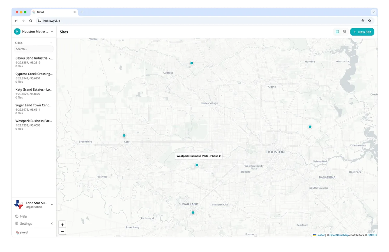
Organised by site and session
Every flight becomes a capture session. All files from that flight are grouped together — your client sees a clean timeline of deliveries, not a mess of folders.
-
Multi-session timelines
Repeat clients see every survey you've done for them — progress monitoring, historical comparison, all in one place.
-
Filmstrip navigation
Clients flip between files in a session using a visual filmstrip — no need to go back to a file list.
Deliver drone data like a pro
Free for up to 5 GB of storage. Upload your first project, generate a branded link, and send it to your client in minutes.
Frequently asked questions
Common questions from drone operators before switching to Swyvl.